Tugna:Angola location map.svg

Taille de cet aperçu PNG pour ce fichier SVG : 547 × 600 iferdisen n tugna. Tibuda nniḍen : 219 × 240 iferdisen n tugna | 438 × 480 iferdisen n tugna | 700 × 768 iferdisen n tugna | 934 × 1 024 iferdisen n tugna | 1 868 × 2 048 iferdisen n tugna | 1 266 × 1 388 iferdisen n tugna.
Afaylu aneṣli (Afaylu SVG, tabadut n 1 266 × 1 388 pixel, lqedd : 478 KB/KO)
Agzul
| Aglam |
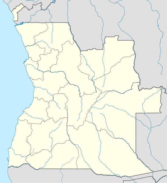
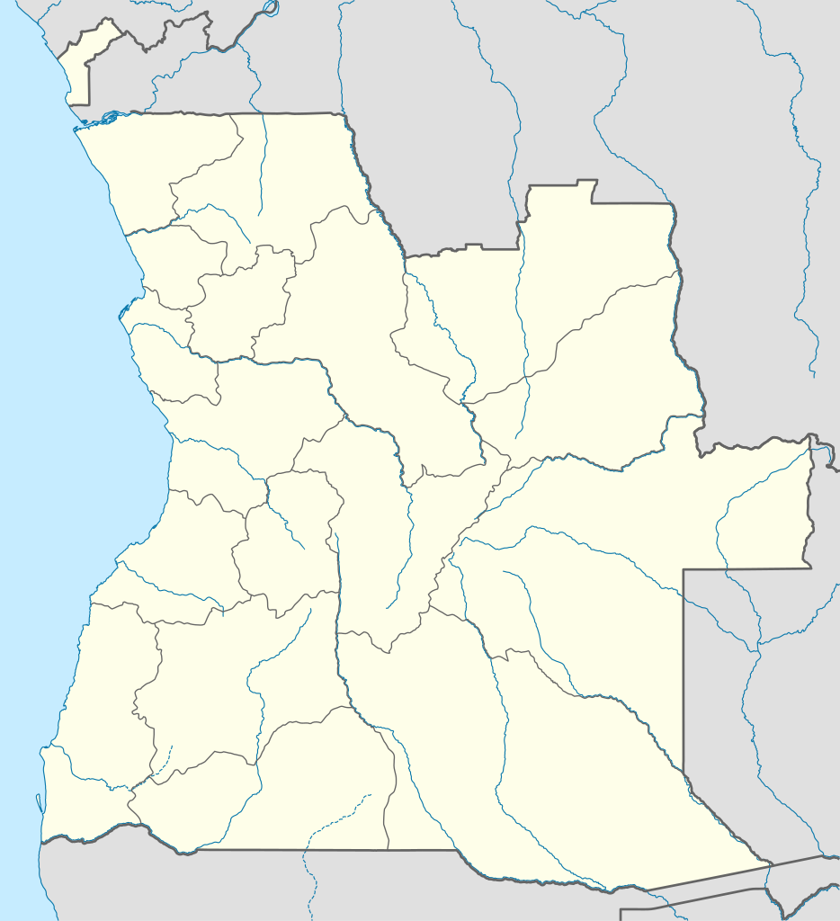
Deutsch: Positionskarte von Angola
Quadratische Plattkarte, N-S-Streckung 102 %. Geographische Begrenzung der Karte:
English: Location map of Angola
Equirectangular projection, N/S stretching 102 %. Geographic limits of the map:
|
||
| Azemz | |||
| Aɣbalu |
Amahil udmawan, using
|
||
| Ameskar | NordNordWest | ||
| Tasiregt (Tulsa n useqdec n ufaylu-agi) |
Moi, en tant que détenteur des droits d’auteur sur cette œuvre, je la publie sous la licence suivante : Afaylu-agi yella ddaw n tewtilin n turagt Creative Commons Attribution-Share Alike 3.0 Unported.
|
||
| SVG information | Cette carte a été créée avec un logiciel SVG inconnu
|

Amazray n ufaylu
Senned ɣef yiwen azmez d usrag iwakken ad ẓṛeḍ afaylu aken yella deg imir nni.
| Azemz/Ssaɛa | Aqmamaḍ | Iseggiwen | Amseqdac | Awennit | |
|---|---|---|---|---|---|
| Lux a | 21 Ɣuct 2019 à 18:15 | | 1 266 × 1 388 (478 KB/KO) | Hallel | Inclusão de novo mapa com as alterações territoriais das províncias do Bengo e Luanda |
| 20 Tuber 2009 à 17:35 |  | 1 266 × 1 388 (478 KB/KO) | NordNordWest | =={{int:filedesc}}== {{Information |Description= {{de|Positionskarte von Angola}} Quadratische Plattkarte, N-S-Streckung 102 %. Geographische Begrenzung der Karte: * N: 4.1° S * S: 18.5° S * W: 11.1° O * O: 24.5° O {{en|Location map of |
Aseqdec n ufaylu
Ulaḥedd seg isebtar sɛan azday ar afaylu-agi.
Aseqdec n ufaylu amatu
Iwikiyen-agi-nniḍen seqdacen afaylu-agi:
- Aseqdec ɣef af.wikipedia.org
- Aseqdec ɣef am.wikipedia.org
- Aseqdec ɣef an.wikipedia.org
- Aseqdec ɣef ar.wikipedia.org
- Aseqdec ɣef ast.wikipedia.org
- Luanda
- Ríu Congu
- Bolongongo
- Londuimbale
- N'Zeto
- Lubalo
- África Central
- Lubango
- Área de caltenimientu Kavango-Zambeze
- Ríu Zambeze
- Morro do Moco
- Benguela
- Módulu:Mapa de llocalización/datos/Angola
- Módulu:Mapa de llocalización/datos/Angola/usu
- Aeropuertu Internacional Quatro de Fevereiro
- Aeropuertu de Benguela
- Aeropuertu de Cabinda
- Aeropuertu de Kuito
- Lobito
- Aseqdec ɣef azb.wikipedia.org
Wali l’utilisation globale n ufaylu-agi.