Tugna:Colombia location map.svg

Taille de cet aperçu PNG pour ce fichier SVG : 512 × 579 iferdisen n tugna. Tibuda nniḍen : 212 × 240 iferdisen n tugna | 424 × 480 iferdisen n tugna | 679 × 768 iferdisen n tugna | 905 × 1 024 iferdisen n tugna | 1 811 × 2 048 iferdisen n tugna.
Afaylu aneṣli (Afaylu SVG, tabadut n 512 × 579 pixel, lqedd : 1,07 MB/MO)
Agzul
| Aglam |
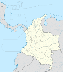
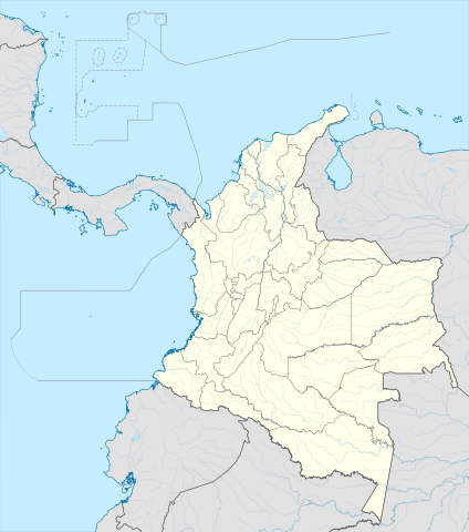
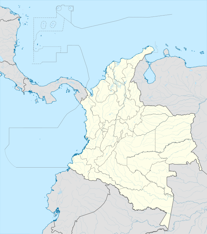
English: Location map of Colombia
Equirectangular projection. Geographic limits of the map:
|
| Azemz | |
| Aɣbalu | Amahil udmawan (Original text: own work, using Demis data) |
| Ameskar | Milenioscuro |
| Autres versions |
Derivative works of this file: Bajo Nuevo Colombia location.png
|
| SVG information | Le code de ce fichier SVG n'est pas valide en raison de 8 erreurs. Cette carte W3C-invalide a été créée avec Adobe Illustrator |


.svg)

Turagt
Milenioscuro, en tant que détenteur des droits d’auteur sur cette œuvre, la publie sous la licence suivante :
Afaylu-agi yella ddaw n tewtilin n turagt Creative Commons Attribution-Share Alike 3.0 Unported.
Tinekfit: Milenioscuro
- Ɣuṛ-k tilelli:
- i beṭṭu – akken ad tneɣleḍ, ad tzuzreḍ neɣ ad tebḍuḍ amahil-agi
- i uṣeggem – i uṣeggem n umahil
- Ddaw n tiwtilin-agi:
- bab – Yessefk ad d-bedreḍ isem n umeskar aneṣli s wudem yettwammlen sɣuṛ ameskar n umahil neɣ bab n izerfan i k-imudden tasiregt (mačči s wudem yemmalen am akken yettmuddu-yak afus neɣ yeqbel aseqdec-it n umahil).
- bḍut akken yella – Ma tbeddleḍ, teskelteḍ, neɣ tebniḍ ɣef umahil-agi, yessefk ad tezzuzreḍ amahil i d-yeffɣen ɣas ddaw n turagt-nni neɣ turagt icuban ɣuṛ-s.
| Annotations | This image is annotated: View the annotations at Commons |


Amazray n ufaylu
Senned ɣef yiwen azmez d usrag iwakken ad ẓṛeḍ afaylu aken yella deg imir nni.
| Azemz/Ssaɛa | Aqmamaḍ | Iseggiwen | Amseqdac | Awennit | |
|---|---|---|---|---|---|
| Lux a | 22 Fuṛaṛ 2022 à 20:17 | | 512 × 579 (1,07 MB/MO) | Milenioscuro | standard colors |
| 1 Duǧember 2017 à 11:10 |  | 2 027 × 2 294 (1,37 MB/MO) | Milenioscuro | limits | |
| 1 Duǧember 2017 à 11:00 |  | 2 027 × 2 294 (1,37 MB/MO) | Milenioscuro | more visible limits | |
| 28 Yennayer 2014 à 05:48 |  | 2 027 × 2 294 (1,39 MB/MO) | Milenioscuro | correction of departamental, international and maritime boundaries, courses of rivers, coastline, and line thickness | |
| 29 Mayyu 2012 à 17:01 |  | 2 007 × 2 298 (1,07 MB/MO) | Milenioscuro | correction of some departamental borders | |
| 26 Meɣres 2012 à 18:58 |  | 2 007 × 2 298 (1,08 MB/MO) | Milenioscuro | correction of international borders, added layers, rivers, etc | |
| 17 Wamber 2011 à 08:12 |  | 2 007 × 2 298 (1,04 MB/MO) | Milenioscuro | simplification of rivers, correction of some borders | |
| 2 Wamber 2009 à 23:48 |  | 2 007 × 2 298 (1,14 MB/MO) | Milenioscuro | thick boundaries of departments | |
| 1 Wamber 2009 à 09:10 |  | 2 007 × 2 298 (1,15 MB/MO) | Milenioscuro | Adjusted to match style of location maps 2008 | |
| 26 Tuber 2009 à 07:30 |  | 2 268 × 2 676 (1,4 MB/MO) | Milenioscuro | maritime boundaries |
Aseqdec n ufaylu
Ulaḥedd seg isebtar sɛan azday ar afaylu-agi.
Aseqdec n ufaylu amatu
Iwikiyen-agi-nniḍen seqdacen afaylu-agi:
- Aseqdec ɣef af.wikipedia.org
- Aseqdec ɣef als.wikipedia.org
- Aseqdec ɣef an.wikipedia.org
- Aseqdec ɣef ar.wikipedia.org
- Aseqdec ɣef ast.wikipedia.org
- Bogotá
- Cali
- Estadiu Doce de Octubre
- Puerto Colombia (Guainía)
- González (Cesar)
- Estadiu Deportivo Cali
- Módulu:Mapa de llocalización/datos/Colombia
- Ríu Magdalena
- Capitoliu Nacional de Colombia
- Comisión Colombiana del Espaciu
- Nevado del Ruiz
- Módulu:Mapa de llocalización/datos/Colombia/usu
- Barranquilla
- Cartagena de Indias
- Estadiu Metropolitanu Roberto Meléndez
- Palenque de San Basilio
- Copa América 2001
- Sierra de Chiribiquete
- Inírida
- Aeropuertu Internacional El Dorado
- Casa d'Adoración Norte del Cauca
- Aeropuertu Guaymaral
- Aeropuertu Internacional Alfonso Bonilla Aragón
- Aeropuertu Internacional Alfredo Vásquez Cobo
- Aeropuertu Internacional Camilo Daza
- Aeropuertu Internacional El Edén
- Aeropuertu Internacional Ernesto Cortissoz
- Aeropuertu Internacional Gustavo Rojas Pinilla
- Aeropuertu Internacional José María Córdova
- Aeropuertu Internacional Matecaña
Wali l’utilisation globale n ufaylu-agi.