Tugna:Uganda location map.svg

Afaylu aneṣli (Afaylu SVG, tabadut n 1 441 × 1 466 pixel, lqedd : 431 KB/KO)
Agzul
| Aglam |
Deutsch: Positionskarte von Uganda
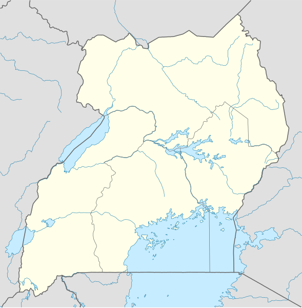
Quadratische Plattkarte. Geographische Begrenzung der Karte:
English: Location map of Uganda
Equirectangular projection. Geographic limits of the map:
|
|
| Azemz | ||
| Aɣbalu |
Amahil udmawan, using
|
|
| Ameskar | NordNordWest | |
| Tasiregt (Tulsa n useqdec n ufaylu-agi) |
Ce fichier est disponible selon les termes de la licence Creative Commons Attribution – Partage dans les Mêmes Conditions 3.0 Allemagne.
 Ce fichier est disponible selon les termes de la licence Creative Commons Attribution – Partage dans les Mêmes Conditions 3.0 Allemagne.
|
|
| Autres versions |
Derivative works of this file: Uganda location map Topographic.png |


|
Cette carte a été créée ou améliorée dans le Kartenwerkstatt (Atelier cartographique allemand). Vous pouvez également y proposer des cartes à améliorer.
|
Amazray n ufaylu
Senned ɣef yiwen azmez d usrag iwakken ad ẓṛeḍ afaylu aken yella deg imir nni.
| Azemz/Ssaɛa | Aqmamaḍ | Iseggiwen | Amseqdac | Awennit | |
|---|---|---|---|---|---|
| Lux a | 1 Duǧember 2009 à 19:25 | | 1 441 × 1 466 (431 KB/KO) | NordNordWest | =={{int:filedesc}}== {{Information |Description= {{de|Positionskarte von Uganda}} Quadratische Plattkarte. Geographische Begrenzung der Karte: * N: 4.5° N * S: 1.7° S * W: 29.2° O * O: 35.3° O {{en|Location map of Uganda} |
Aseqdec n ufaylu
Ulaḥedd seg isebtar sɛan azday ar afaylu-agi.
Aseqdec n ufaylu amatu
Iwikiyen-agi-nniḍen seqdacen afaylu-agi:
- Aseqdec ɣef af.wikipedia.org
- Aseqdec ɣef am.wikipedia.org
- Aseqdec ɣef an.wikipedia.org
- Aseqdec ɣef ar.wikipedia.org
- Aseqdec ɣef ast.wikipedia.org
- Aseqdec ɣef av.wikipedia.org
- Aseqdec ɣef azb.wikipedia.org
- Aseqdec ɣef az.wikipedia.org
- Aseqdec ɣef be-tarask.wikipedia.org
- Aseqdec ɣef be.wikipedia.org
Wali l’utilisation globale n ufaylu-agi.