Tugna:Equatorial Guinea location map.svg

Taille de cet aperçu PNG pour ce fichier SVG : 628 × 600 iferdisen n tugna. Tibuda nniḍen : 251 × 240 iferdisen n tugna | 503 × 480 iferdisen n tugna | 804 × 768 iferdisen n tugna | 1 072 × 1 024 iferdisen n tugna | 2 144 × 2 048 iferdisen n tugna | 1 091 × 1 042 iferdisen n tugna.
Afaylu aneṣli (Afaylu SVG, tabadut n 1 091 × 1 042 pixel, lqedd : 155 KB/KO)
Agzul
| Aglam |
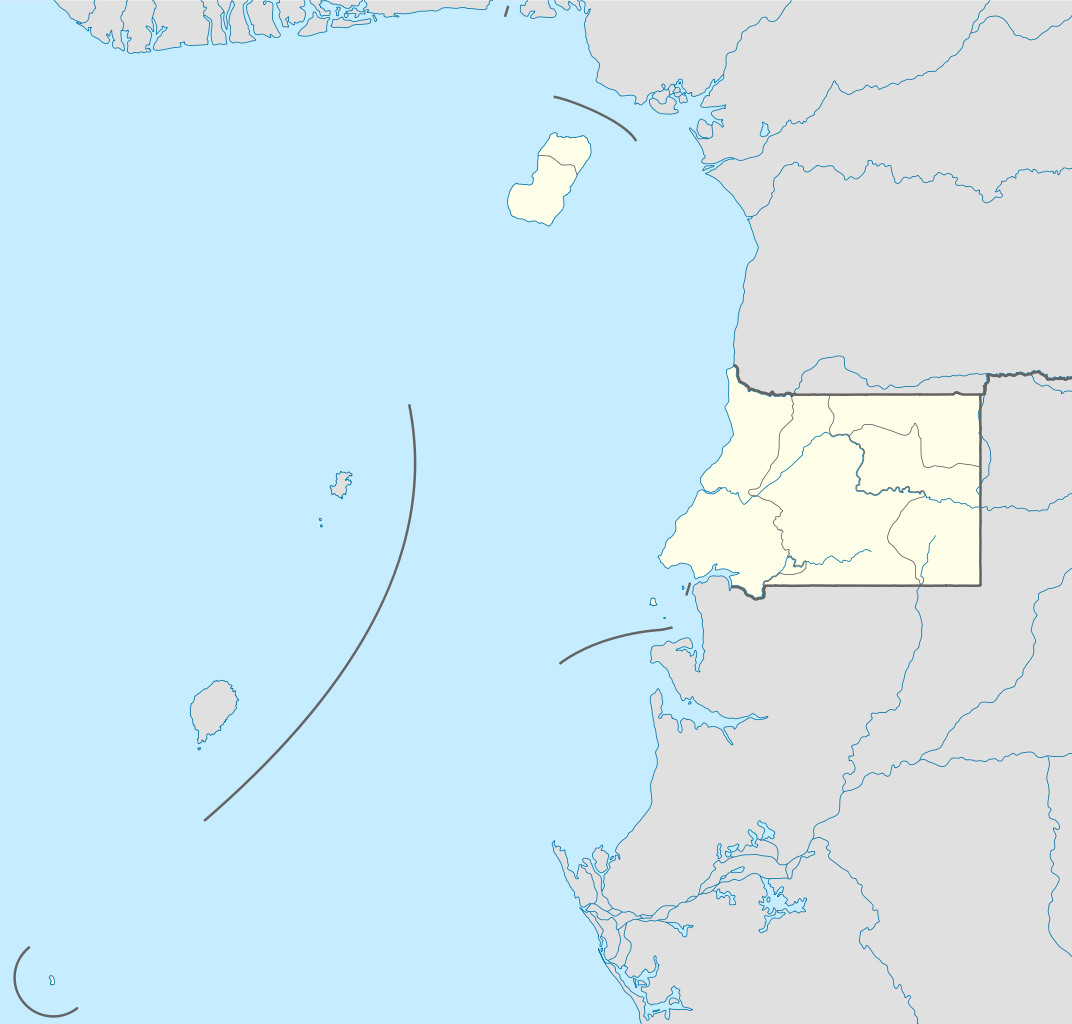
Deutsch: Positionskarte von Äquatorialguinea
Quadratische Plattkarte. Geographische Begrenzung der Karte:
English: Location map of Equatorial Guinea
Equirectangular projection. Geographic limits of the map:
|
| Azemz | |
| Aɣbalu |
own work, using
|
| Ameskar | NordNordWest |

|
Cette carte a été créée ou améliorée dans le Kartenwerkstatt (Atelier cartographique allemand). Vous pouvez également y proposer des cartes à améliorer.
|
Turagt
Moi, en tant que détenteur des droits d’auteur sur cette œuvre, je la publie sous les licences suivantes :

|
Ɣuṛ-k tasiregt akken ad tneɣleḍ, ad tzuzreḍ neɣ ad tesnifleḍ isemli-agi akken yella di tewtilin n GNU Free Documentation License lqem 1.2 neq yal lqem amaynut i d-yeffɣen sɣuṛ Free Software Foundation, s war abeddel di tgezmiyin, s war aḍris deg usebter amenzu n tdulineɣ s war aḍris deg usebter aneggaru n tduli. Amedya n turagt yedda deg tgezmi ittusemman GNU Free Documentation License. |
Afaylu-agi yella ddaw n tewtilin n turagt Creative Commons Attribution-Share Alike 3.0 Unported.
- Ɣuṛ-k tilelli:
- i beṭṭu – akken ad tneɣleḍ, ad tzuzreḍ neɣ ad tebḍuḍ amahil-agi
- i uṣeggem – i uṣeggem n umahil
- Ddaw n tiwtilin-agi:
- bab – Yessefk ad d-bedreḍ isem n umeskar aneṣli s wudem yettwammlen sɣuṛ ameskar n umahil neɣ bab n izerfan i k-imudden tasiregt (mačči s wudem yemmalen am akken yettmuddu-yak afus neɣ yeqbel aseqdec-it n umahil).
- bḍut akken yella – Ma tbeddleḍ, teskelteḍ, neɣ tebniḍ ɣef umahil-agi, yessefk ad tezzuzreḍ amahil i d-yeffɣen ɣas ddaw n turagt-nni neɣ turagt icuban ɣuṛ-s.
Tzemreḍ ad ferneḍ yiwet seg turagin-agi.
Amazray n ufaylu
Senned ɣef yiwen azmez d usrag iwakken ad ẓṛeḍ afaylu aken yella deg imir nni.
| Azemz/Ssaɛa | Aqmamaḍ | Iseggiwen | Amseqdac | Awennit | |
|---|---|---|---|---|---|
| Lux a | 7 Wamber 2011 à 09:34 | | 1 091 × 1 042 (155 KB/KO) | NordNordWest | upd |
| 23 Tuber 2011 à 15:27 |  | 1 091 × 1 042 (154 KB/KO) | NordNordWest | another mistake fixed | |
| 23 Tuber 2011 à 15:19 |  | 1 091 × 1 042 (154 KB/KO) | NordNordWest | corrected | |
| 23 Tuber 2011 à 10:51 |  | 1 093 × 1 042 (236 KB/KO) | Waldyrious | If the colors are wrong, just fix them. Don't revert all the other handcrafted cleanup and structural improvements in the process. | |
| 22 Tuber 2011 à 16:35 |  | 1 093 × 1 042 (250 KB/KO) | NordNordWest | wrong colours | |
| 22 Tuber 2011 à 15:37 |  | 1 093 × 1 042 (236 KB/KO) | Waldyrious | cleanup & structure | |
| 14 Wamber 2008 à 16:46 |  | 1 093 × 1 042 (250 KB/KO) | NordNordWest | corrected | |
| 14 Wamber 2008 à 16:44 |  | 1 116 × 1 042 (250 KB/KO) | NordNordWest | {{Information |Description= {{de|Positionskarte von Äquatorialguinea}} Quadratische Plattkarte. Geographische Begrenzung der Karte: * N: 4.6° N * S: 1.7° S * W: 5.3° O * O: 11.9° O {{en|Location map of [[:en:Equatorial Guine |
Aseqdec n ufaylu
Ulaḥedd seg isebtar sɛan azday ar afaylu-agi.
Aseqdec n ufaylu amatu
Iwikiyen-agi-nniḍen seqdacen afaylu-agi:
- Aseqdec ɣef af.wikipedia.org
- Aseqdec ɣef am.wikipedia.org
- Aseqdec ɣef ar.wikipedia.org
- Aseqdec ɣef be-tarask.wikipedia.org
- Aseqdec ɣef bg.wikipedia.org
- Aseqdec ɣef bn.wikipedia.org
- Aseqdec ɣef bs.wikipedia.org
- Aseqdec ɣef ckb.wikipedia.org
- Aseqdec ɣef el.wikipedia.org
- Aseqdec ɣef es.wikipedia.org
- Aseqdec ɣef eu.wikipedia.org
- Aseqdec ɣef fa.wikipedia.org
- Aseqdec ɣef fr.wikipedia.org
- Aseqdec ɣef he.wikivoyage.org
- Aseqdec ɣef kaa.wikipedia.org
- Aseqdec ɣef kbd.wikipedia.org
- Aseqdec ɣef kn.wikipedia.org
- Aseqdec ɣef ko.wikipedia.org
- Aseqdec ɣef ku.wikipedia.org
- Aseqdec ɣef mk.wikipedia.org
- Aseqdec ɣef ml.wikipedia.org
- Aseqdec ɣef mr.wikipedia.org
- Aseqdec ɣef ms.wikipedia.org
- Aseqdec ɣef pa.wikipedia.org
Wali l’utilisation globale n ufaylu-agi.