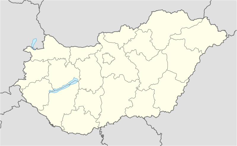
Tugna:Hungary location map.svg

Taille de cet aperçu PNG pour ce fichier SVG : 800 × 493 iferdisen n tugna. Tibuda nniḍen : 320 × 197 iferdisen n tugna | 640 × 395 iferdisen n tugna | 1 024 × 631 iferdisen n tugna | 1 280 × 789 iferdisen n tugna | 2 560 × 1 578 iferdisen n tugna | 1 210 × 746 iferdisen n tugna.
Afaylu aneṣli (Afaylu SVG, tabadut n 1 210 × 746 pixel, lqedd : 246 KB/KO)
Amazray n ufaylu
Senned ɣef yiwen azmez d usrag iwakken ad ẓṛeḍ afaylu aken yella deg imir nni.
| Azemz/Ssaɛa | Aqmamaḍ | Iseggiwen | Amseqdac | Awennit | |
|---|---|---|---|---|---|
| Lux a | 15 Wamber 2008 à 13:27 |  | 1 210 × 746 (246 KB/KO) | NordNordWest | corrected |
| 5 Ctember 2008 à 17:30 |  | 1 210 × 746 (243 KB/KO) | NordNordWest | frontiers corrected, size correction, file size smaller | |
| 5 Yulyu 2008 à 09:53 |  | 605 × 373 (309 KB/KO) | NordNordWest | {{Information |Description= {{de|Positionskarte von Ungarn}} Quadratische Plattkarte, N-S-Streckung 140 %. Geographische Begrenzung der Karte: * N: 48.8° N * S: 45.5° N * W: 15.7° O * O: 23.2° O {{en|Location map of [[:en:Hungary|Hungar |
Aseqdec n ufaylu
Ulaḥedd seg isebtar sɛan azday ar afaylu-agi.
Aseqdec n ufaylu amatu
Iwikiyen-agi-nniḍen seqdacen afaylu-agi:
- Aseqdec ɣef af.wikipedia.org
- Aseqdec ɣef als.wikipedia.org
- Aseqdec ɣef am.wikipedia.org
- Aseqdec ɣef an.wikipedia.org
- Budapest
- Ecser
- Esztergom
- Buda (Hongría)
- Pest
- Óbuda
- Zichyújfalu
- Basilica de Sant Istevan de Budapest
- Ilesia de Matías de Budapest
- Bastión d'os Pescataires
- Banyos Széchenyi
- Banyos Gellért
- Gran Sinoga de Budapest
- Castiello de Buda
- Puent d'as Cadenas
- Puent Margit
- Parlamento d'Hongría
- Mercau Central de Budapest
- Opera Nacional d'Hongría
- Plantilla:Mapa de localización Hongría
- Sopron
- Győr
- Pécs
- Debrecen
- Szeged
- Miskolc
- Nyíregyháza
- Aseqdec ɣef ar.wikipedia.org
- Aseqdec ɣef ast.wikipedia.org
Wali l’utilisation globale n ufaylu-agi.

